

From Data to Dialogue: Students Use GIS to Bring Hawaiʻi's Birds to Life

Worcester Polytechnic Institute students left to right: Caitlin Murphy, Riann Divine, Zihan Li, and Dylan Wagner, checking out a nesting manu o Kū at the University of Hawaiʻi at Manoa campus. © Laura Doucette
In early 2025, four students from Worcester Polytechnic Institute (WPI) traveled to Hawaiʻi to learn about and support conservation education. They brought with them more than just a shared curiosity—they carried technical skills, interdisciplinary training, and a deep desire to make an impact. They met Hawaiʻi Audubon Society (HAS) Board member and Hui Manu-o-Kū founder, Rich Downs, and collaborated on a vision to bring the stories of native birds and seabird conservation to a broader audience by blending science, storytelling, and public engagement through a modern, accessible tool: ArcGIS StoryMaps.
ArcGIS StoryMaps is a web-based platform that combines text, imagery, video, and geospatial data into engaging, interactive narratives. The students—Riann Divine (Biology & Biotechnology), Caitlin Murphy (Robotics & Electrical Computer Engineering), Dylan Wagner (Aerospace Engineering), and Zihan Li (Computer Science)—collaborated with Rich, Pacific Rim Conservation, Oikonos Ecosystem Knowledge, and others at HAS to create four comprehensive maps focused on three ambassador bird species and an ambitious seabird translocation effort.
Over five months, the team interviewed experts, visited key bird habitats, and reviewed scientific literature. These StoryMaps will be live soon on HAS's website, offering a bridge between science and the public: not just data, but stories that extend HAS's educational mission to new platforms and audiences.
"This is an innovative way to connect science and people," Riann remarked during an interview at Kennedy Theatre at the University of Hawaiʻi campus. "We didn't do new biological research ourselves—we enabled others to tell their stories in ways that are accessible, visual, and engaging."
From Coursework to Fieldwork
The initiative was part of WPI's Interactive Qualifying Project (IQP), a required course interdisciplinary experience that pairs undergraduates with real-world organizations spanning six continents. All four students ranked the HAS project as their top choice. As team leader Riann Divine explained, "We didn't even know each other, but it turned out we had all picked the same project." The students were drawn in part by the opportunity to work with birds, but also by a personal connection to place. For Dylan Wagner, it was a homecoming; he was born in Waipahu and hadn't returned since early childhood.
The project launched in October 2024 with a semester-long prep course and culminated in an immersive fieldwork period in spring 2025. Even before landing in Hawai'i, the team was in contact with Rich, who served as project mentor and liaison throughout.
The group produced StoryMaps on:
The manu o kū (White Tern), Honolulu's official bird;

ArcGIS Manu-o-Kū StoryMaps webpage. © WPI students
The kōlea (Pacific Golden-Plover), a migratory marvel that winters in Hawaiʻi;

ArcGIS Kōlea StoryMaps webpage. © WPI students
The ʻuaʻu kani (Wedge-tailed Shearwater), a coastal burrow-nesting seabird;
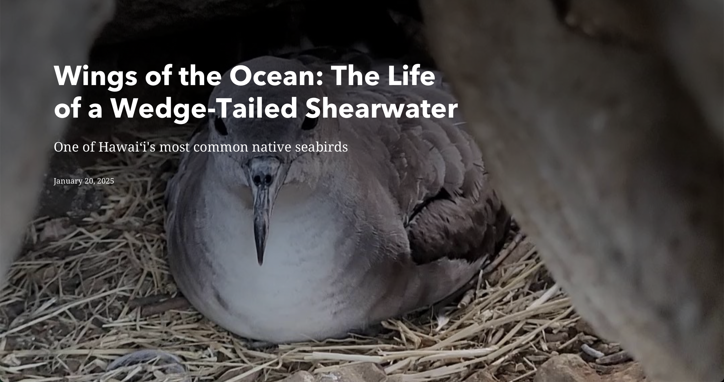
ArcGIS Wedge-tailed Shearwater StoryMaps webpage. © WPI students
A seabird translocation effort led by Pacific Rim Conservation, focused on relocating chicks to predator-controlled nesting refuges.
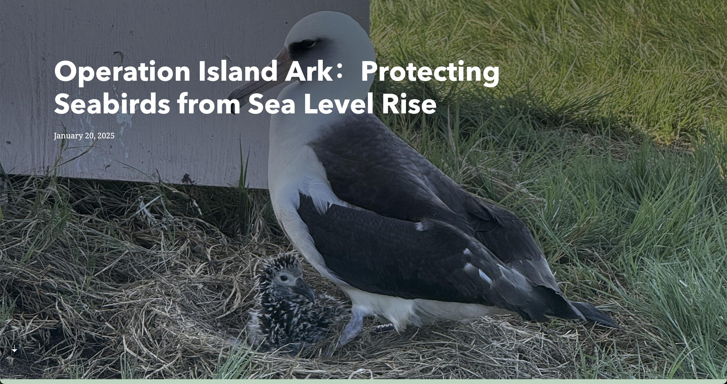
ArcGIS seabird relocation effort StoryMaps webpage. © WPI students
Each StoryMap reflects the lifecycle of its subject. The kōlea map follows the bird's seasonal migration cycle, while the manu o kū map unfolds from egg to fledgling. The ʻuaʻu kani map visualizes habitat changes with sliders and interactive imagery. And the seabird translocation StoryMap spotlights the science, sites, and volunteers behind some of Hawaiʻi's most promising seabird recovery strategies.
Research, Revisions, and Roadblocks
While technically skilled, the team overcame its challenges such as configuring ArcGIS group permissions and tracking hundreds of citations with patience and creative problem-solving. "We also tried to keep the project mobile-friendly," Caitlin added, mindful that most users would be exploring the maps from their phones.
Riann noted how fragmented the literature was. "Some of the most cited papers on kōlea migration were from the 1980s. For the White Terns, the research was much more current—2022, even—but it was tricky figuring out how to weigh the sources, especially as the science is still unfolding."
The team also visited field sites including James Campbell National Wildlife Refuge, Kaʻena Point, Freeman Seabird Preserve, and Turtle Bay. While doing so they interviewed some of the state's leading bird experts, including Ed Cashman, Eric VanderWerf, Oscar Wally Johnson, Susan Scott, Alyssa Piauwasdy, Afsheen Siddiqi, and they worked directly with volunteers at Freeman Seabird Preserve and participants in the Kōlea Count.
Among the most surprising findings for the students was the self-reliance of newly hatched kōlea chicks. "They have to feed themselves from day one—and then fly 3,000 miles to Hawaiʻi on their own," said Caitlin Murphy, "It's astonishing to think of such a small bird crossing the Pacific unaided." Dylan Wagner said, "It's like handing a six-year-old your car keys in Massachusetts and saying, 'See you in California!'"
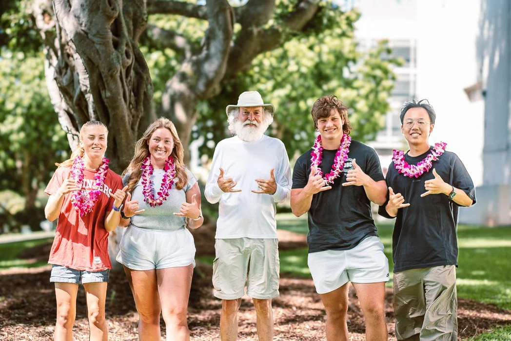
After their project interview in Honolulu, WPI students Caitlin Murphy, Riann Divine, Dylan Wagner, and Zihan Li pose with mentor Rich Downs (center). Their StoryMaps bring Hawaiʻi’s birds and conservation stories to life. © Laura Doucette
A Living Project
The StoryMaps are now owned and managed by HAS, with plans to expand and update them. "The students did the heavy lifting," said Rich Downs. "Now the maps are living documents. Subject matter experts are already seeing their value and thinking about what they can add."
The students have submitted a formal report to WPI, which is now archived for public access and available for review at WPI's Hawaii Project Center website: https://wp.wpi.edu/hawaii/storymaps-for-the-hawaiʻi-audubon-society/. The students remain in touch with HAS and have expressed interest in contributing to future outreach tools or peer-reviewed publications. "We didn't just build maps—we created tools," said Riann. "Tools for connection. Tools for education. Tools that help people understand why these birds matter."
Rich highlighted the transformative potential of StoryMaps: "We live, breathe, and sleep birds every day, but not everyone does. These maps make the information accessible, engaging, and relevant to people who might not otherwise read a journal article."
That accessibility is at the heart of the team's work. "They can be used anywhere," Riann explained. "QR codes could go on bird walk brochures, bus stops, classroom walls, or even Freeman Seabird Preserve signs. They're fast, they're digital, and they're right there in your hand."
This collaboration reflects a broader mission: to translate science into stories that resonate across age groups, cultural backgrounds, and learning styles. As threats to native birds escalate, tools like StoryMaps will be increasingly vital—not only for outreach, but for empowering public understanding and conservation action. After completing the project Dylan said he will "…never be able to think of birds the same way again. Now every time I see one, I wonder where it came from, if it migrates, what its story is."
Editor's note: The kōlea StoryMap is now available for viewing. Additional maps will be released as they become available.
Originally published in ʻElepaio, Volume 85, Number 4 (July/August 2025).